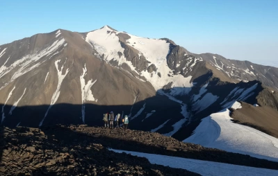
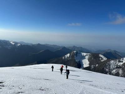
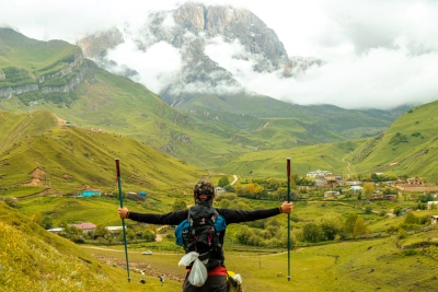
Nesendag is one of the high mountain peaks located in the Gabala region, along the Main Caucasus Range, the watershed ridge of the Greater Caucasus. Situated near the Azerbaijan–Dagestan border, Nesendağ is known for its high-mountain terrain, rocky slopes, and spectacular views of the Caucasus. Hiking and mountaineering routes to the summit of Nesendağ offer an exciting opportunity for those who want to explore the high-mountain wilderness and discover Gabala’s lesser-known peaks. Nesendağ, Vaxçaq Pass, Lake Vaxçaq, and the surrounding high peaks are among the notable destinations for mountain tourism in Gabala.
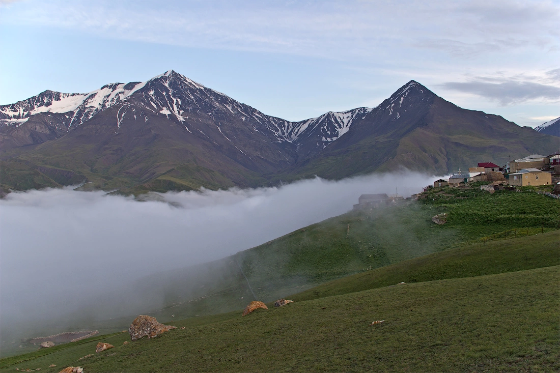
Nesendağ is one of the high mountain peaks in Azerbaijan's Greater Caucasus mountain system, located in the Gabala district near the border with the Republic of Dagestan, Russian Federation. The summit lies along the Main Caucasus Watershed Range and is characterized by high-mountain terrain, rocky slopes, and snow and ice cover.
Nesendağ is one of Azerbaijan's lesser-known yet notable mountain peaks, distinguished by its geographical location and interesting mountaineering routes.
Nesendağ at a Glance
-
Mountain: Nesendağ (Mount Nesen)
-
Region: Gabala District, Azerbaijan
-
Mountain System: Greater Caucasus
-
Range: Main Caucasus Watershed Range
-
Location: Azerbaijan–Dagestan border area
-
Nearby Passes: Vaxçaq and Sal
-
Nearby Peaks: Bazardüzü and Ragdan
-
Route Information: An ascent from Vaxçaq Pass was recorded in 1979
-
Route Difficulty: A route graded 1B is documented
-
Elevation: Different sources report varying figures
Where Is Nesendağ Located?
Nesendağ is located in the high-mountain region of the Gabala district, along the Main Caucasus Range near the Azerbaijan–Dagestan border. The peak is associated with the high-mountain area between Vaxçaq and Sal passes.
The surrounding landscape features the high peaks of the Greater Caucasus, rocky ridges, snowfields, and deep valleys characteristic of alpine terrain. To the north are Lake Vaxçaq and Mount Bazardüzü, while Mount Ragdan is an important geographical feature to the west.
This location makes Nesendağ an interesting part of the Main Caucasus Watershed system, which connects the high-mountain regions of Azerbaijan and Dagestan.
Elevation of Nesendağ
Different maps and sources report varying elevations for Nesendağ. Figures such as 3,811.3 m, 3,829 m, and 3,928 m appear in some materials. Topographic maps indicate an elevation of 3,811 metres.
These discrepancies may be related to topographic maps produced in different periods, variations in measurement methods, and differences between geographical databases. Therefore, when stating the elevation of Nesendağ, it is best to refer to a specific map or source.
Main Caucasus Watershed Range
The Main Caucasus Range, where Nesendağ is located, is one of the principal mountain systems of the Greater Caucasus. It plays an important role in forming a natural watershed and a high-mountain border zone between Azerbaijan and Dagestan.
The terrain around Nesendağ is high and rugged. Rocky ridges, steep slopes, snowfields, and high-mountain valleys are among the main features of the area.
.
Nesendağ Mountaineering Route
Nesendağ also has a place in the history of mountaineering. Available route records describe an ascent made in 1979, starting from Vaxçaq Pass and following the crest of the ridge towards the summit.
The difficulty of this route is listed as Grade 1B. However, on high-mountain routes, factors such as weather conditions, snow and ice conditions, visibility, border-zone requirements, and the current state of the route must also be taken into account.
Anyone planning a hike or mountaineering expedition to Nesendağ should research the route in advance and arrange to be accompanied by a local mountain guide.
Lake Vaxçaq and the High-Mountain Landscape
Lake Vaxçaq is one of the notable natural features of the high-mountain area surrounding Nesendağ. Various sources place the lake at an elevation of approximately 3,600–3,700 metres.
The landscape around the lake features rocky terrain, snow and ice cover, high-mountain meadows, and rugged alpine formations. This creates a natural environment that differs considerably from the low- and mid-mountain areas of Gabala.
Researching Nesendağ on Maps
Topographic maps from different periods are particularly important when researching high mountain peaks such as Nesendağ. Differences in names, elevations, and terrain data may occur between old Soviet maps, modern topographic resources, and satellite maps.
For this reason, when preparing historical and geographical information about Nesendağ, it is more appropriate to compare maps and archival materials from several sources rather than relying on a single reference.