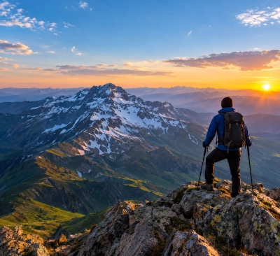
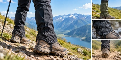
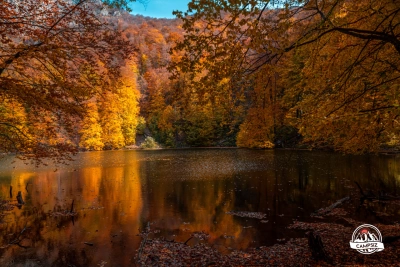
The Caucasus Mountains, one of Azerbaijan’s most magnificent natural wonders, are distinguished by unique alpine landscapes and permanent glaciers, with the country’s highest peak, Mount Bazarduzu (4,466 m), and the majestic Shahdag among their highlights. Surrounded by deep canyons, emerald-colored mountain lakes, and powerful waterfalls, these ranges offer exceptional routes for professional mountaineering and trekking tours, as well as ecotourism. Ethnographic villages such as the ancient Khinalig and Lahij, located thousands of meters above sea level, give visitors the opportunity to discover the region’s rich historical heritage. Four-season outdoor adventures, unforgettable mountain expeditions, and breathtaking landscapes await you in the Caucasus Mountains of Azerbaijan.
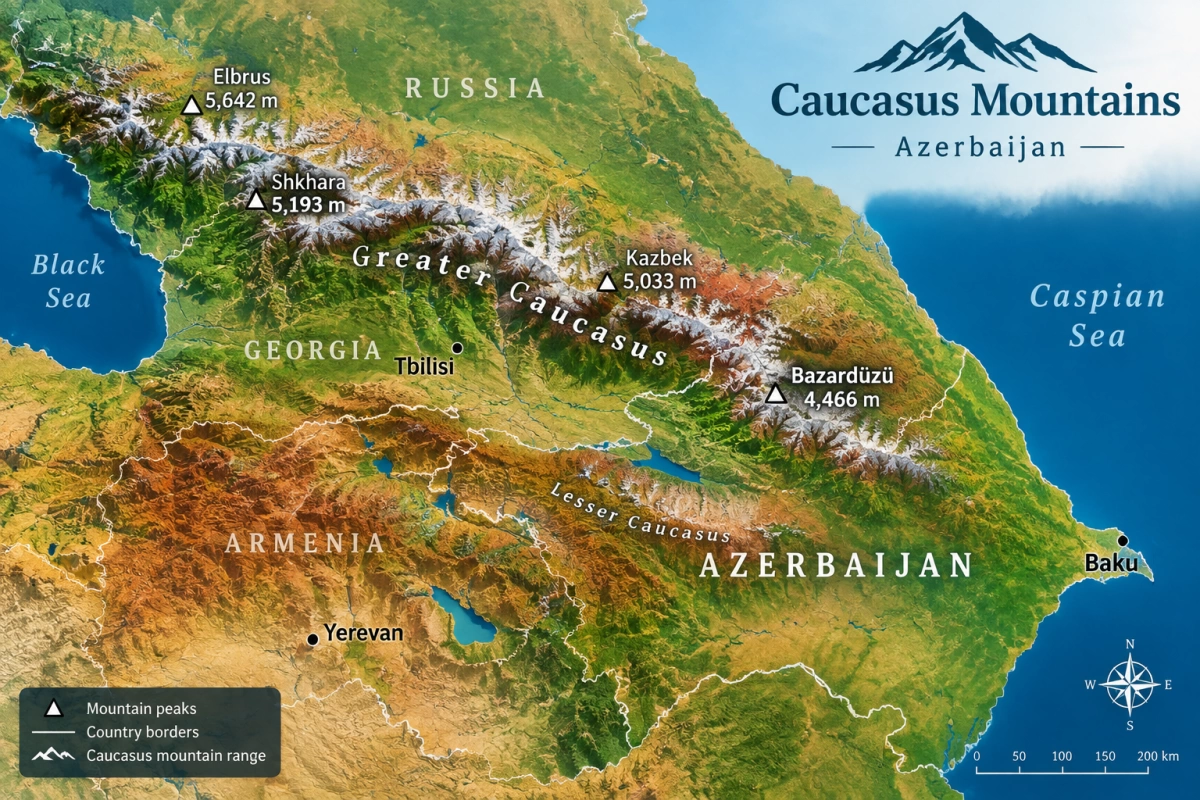
The Greater Caucasus Mountains, standing like a shield along Azerbaijan’s northern and northeastern borders, form the country’s highest, steepest, and most alpine natural system. Distinguished by permanent glaciers, enormous canyons, waterfalls, and ancient mountain villages, this mountain range reveals nature in its wildest and most majestic form.
1. Where Does It Begin and End?
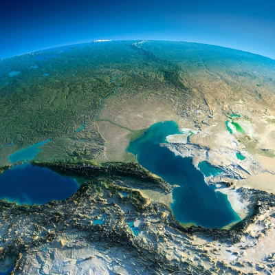
As a mountain system, the Greater Caucasus stretches approximately 1,200 km from the shores of the Black Sea (Taman Peninsula) to the Caspian Sea (Absheron Peninsula).
The section located within Azerbaijan is formed as follows:
Starting point: It begins in the northwest at the Machkhalroso Pass (2,790 m), located at the junction of the borders of Georgia and Russia (Dagestan).
End point: Extending southeastward, the range gradually decreases in elevation, transitions into the low mountains of Gobustan, and eventually ends on the Absheron Peninsula along the shores of the Caspian Sea as low hills and ridges.
Natural boundary: Within Azerbaijan, the range is approximately 350 km long. To the northeast, it is bordered by the Samur–Davachi Lowland and the Qusar Inclined Plain, while to the south it transitions into the Kura–Aras Lowland through the Alazani–Ayrichay Valley and the Ganikh–Haftaran Depression.
2. Main Ranges and Highest Peaks
The Azerbaijani section of the Greater Caucasus consists of two major mountain ranges running roughly parallel to each other:
Main Caucasus (Watershed) Range: It stretches from northwest to southeast like a continuous wall and divides the river basins. The highest points in the country are located along this range:
Mount Bazarduzu (4,466 m): The highest point of Azerbaijan and neighboring Dagestan (Russia).
Mount Tufandag (4,191 m): Known for the ancient Tufangol Lake at its foot and its harsh climate.
Mount Babadag (3,629 m): A steep peak located on the border of Quba and Ismayilli, famous both for its natural grandeur and as an ancient pilgrimage and sacred site.
Lesser Range: It runs parallel to the Main Caucasus Range on its northeastern side. Composed mainly of Jurassic and Cretaceous limestone, it is characterized by sharp rock walls and deep canyons. Within Azerbaijan, the range begins at the Eridag (3,925 m) massif and extends toward Mount Beshbarmag:
Mount Shahdag (4,243 m): A massive flat limestone formation resembling a giant fortress wall and one of Azerbaijan’s most recognizable natural symbols.
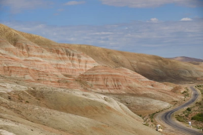
Mount Gizilgaya (3,726 m): A peak with steep reddish-colored cliffs that forms part of the Shahdag plateau.
3. What Can Be Found Here? Landforms, Natural Wonders, and Valleys
The Greater Caucasus is home to some of the most impressive landforms created by nature:
Deep Canyons and Valleys: Rivers such as the Qudyalchay, Qusarchay, and Velvelachay cut through the Lesser Range, creating narrow and deep valleys. The famous Tengaltı Gorge and the deep canyons near the village of Griz are striking examples of this geological formation.
Glaciers and Waterfalls: The country’s only permanent glaciers are located in the Bazarduzu and Shahdag massifs. Afurja Waterfall cascading down the cliffs, the waterfalls near Laza that freeze into walls of ice in winter, and Muchug Waterfall add exceptional beauty to the region.
High-Mountain Lakes: Small yet mysteriously cold mountain lakes such as Tufangol can be found at elevations above 3,000 meters above sea level, beneath the permanent snowfields.
Mud Volcanoes (Southeastern Extension): As the range decreases in elevation toward the southeast, it transitions into the Gobustan and Shamakhi regions, home to some of the world’s richest mud volcano landscapes.
4. Ancient Culture and Mountain Villages
The Greater Caucasus is not merely a landscape of steep cliffs; it has been home to unique peoples for centuries:
Khinalig (2,350 m): One of the world’s highest mountain settlements, known for its unique language and terraced stone houses, resembling an open-air ethnographic museum.
Griz, Laza, and Budug: Ancient villages of the Shahdag peoples, built on steep slopes beside canyons, resembling eagle’s nests.
Lahij: A historic settlement located in the Girdimanchay Valley at the foot of Mount Babadag, renowned for its ancient sewage system and traditional copper craftsmanship.
Yergikek: The highest mountain village in Azerbaijan.
Modern Tourism: The Shahdag and Tufandag winter and summer tourism resorts located in the foothills of the mountains have transformed the natural potential of the range into internationally recognized destinations for active recreation.