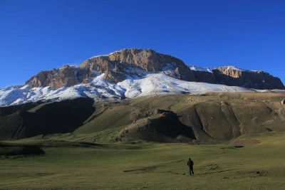
Qaranohur is a high-altitude mountain lake located in the Ismayilli district of Azerbaijan. It is situated within the territory of Shahdag National Park, near the village of Talistan, approximately 8 km northeast of the city of Ismayilli. The lake lies at an altitude of 1,540 meters above sea level and is part of the Qaranohur River basin, which flows from the Greater Caucasus Mountains.
Features:
The lake's mineralization is high, exceeding 1000 mg/l. The water of this lake is not suitable for agriculture. In summer, its temperature exceeds 15°C. In 1959–1960, H. I. Zamanov and R. B. Tarverdiyev conducted hydrological studies in the lake and measured its daily temperature. As a result, the daily amplitude was determined to vary between 27.7° - 18.0°C.
As you move away from the shore, the transparency of Lake Qaranohur reaches its maximum in the middle. The lake likely formed as a result of tectonic processes that occurred at the end of the Mesozoic era and the beginning of the Cenozoic era due to convergence processes. The trails leading to the lake pass through the villages of Talistan, Diyalli, Qarsala, and Köhnədaxar.
Etymology:
In the Azerbaijani language, "qara" means "black" and "nohur" means "lake," "water reservoir," or "swamp." Due to the high mineralization of the lake, its water is not suitable for agricultural use, so the local people named it "Qara" (Black).
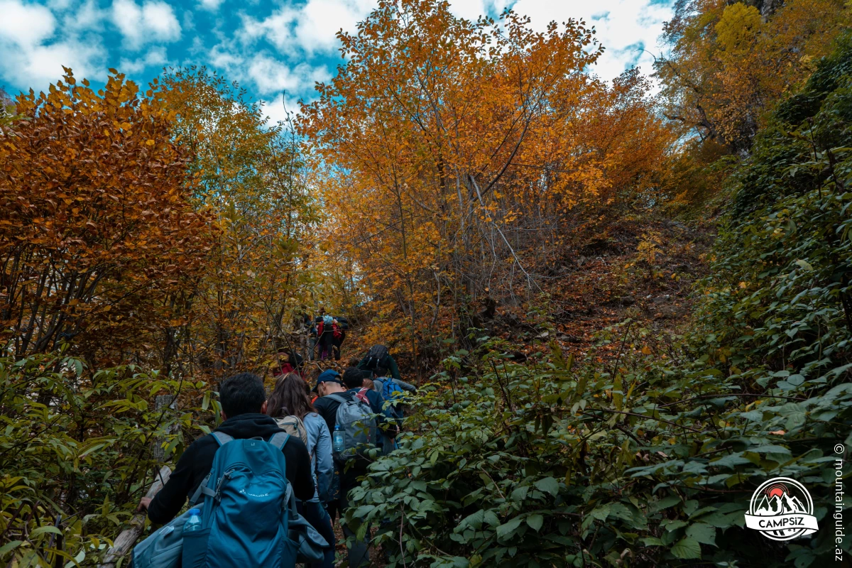
This hidden gem has gained popularity in recent years, especially among ecotourism enthusiasts. Located near the village of Talistan in the Ismayilli region, Lake Qaranohur offers a peaceful retreat just 2.5 hours from Baku. To reach it, you must travel 5 km from Talistan village and complete a moderately challenging hike through a stunning pistachio forest, with some steep sections.
Walking to and from the lake takes about 5-6 hours, but plan for a longer trip because it’s a great spot for a picnic!
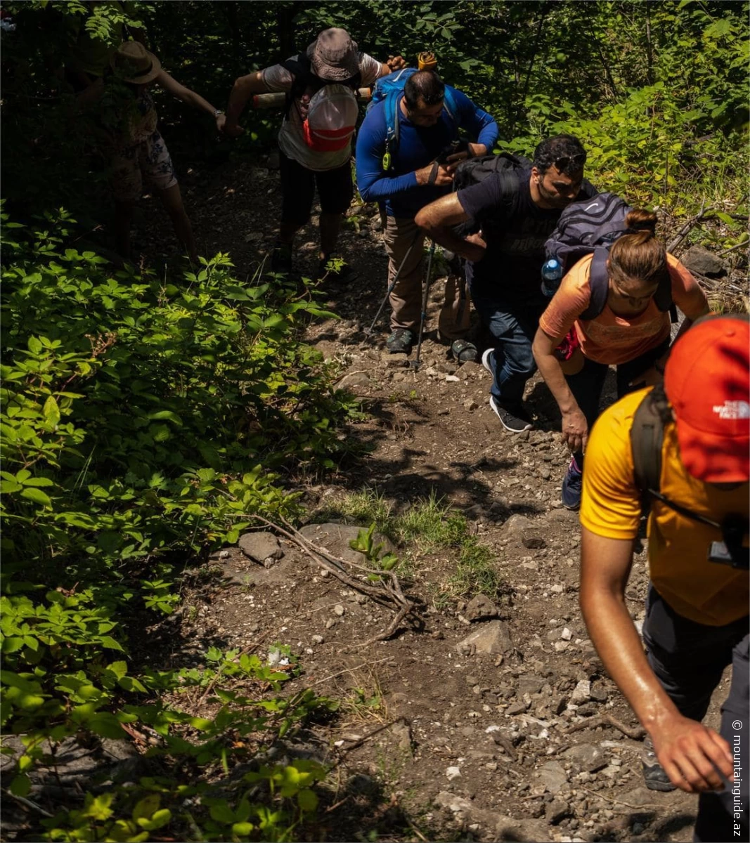
The trail to the lake includes some vertical and steep sections that can be challenging for some hikers, especially those new to trekking. There is also an alternative trail from the nearby village of Diyalli. Some eco-tour groups use this second trail on their way back. Although this trail passes through open and flat areas, it takes longer.
The journey starts from Talistan village at the entrance of Shahdag National Park, where you must purchase a ticket. From there, you embark on a 5-6 km scenic hike to the lake. There is a significant elevation difference between the starting point and the lake. The trek begins at an altitude of 900 meters above sea level and ascends to Lake Qaranohur at 1,540 meters. This means an elevation gain of approximately 600 meters, which you start feeling as soon as you take your first steps.
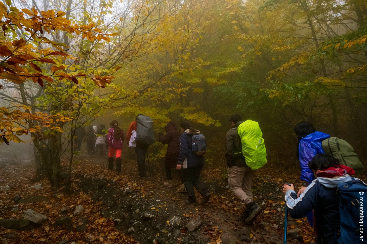
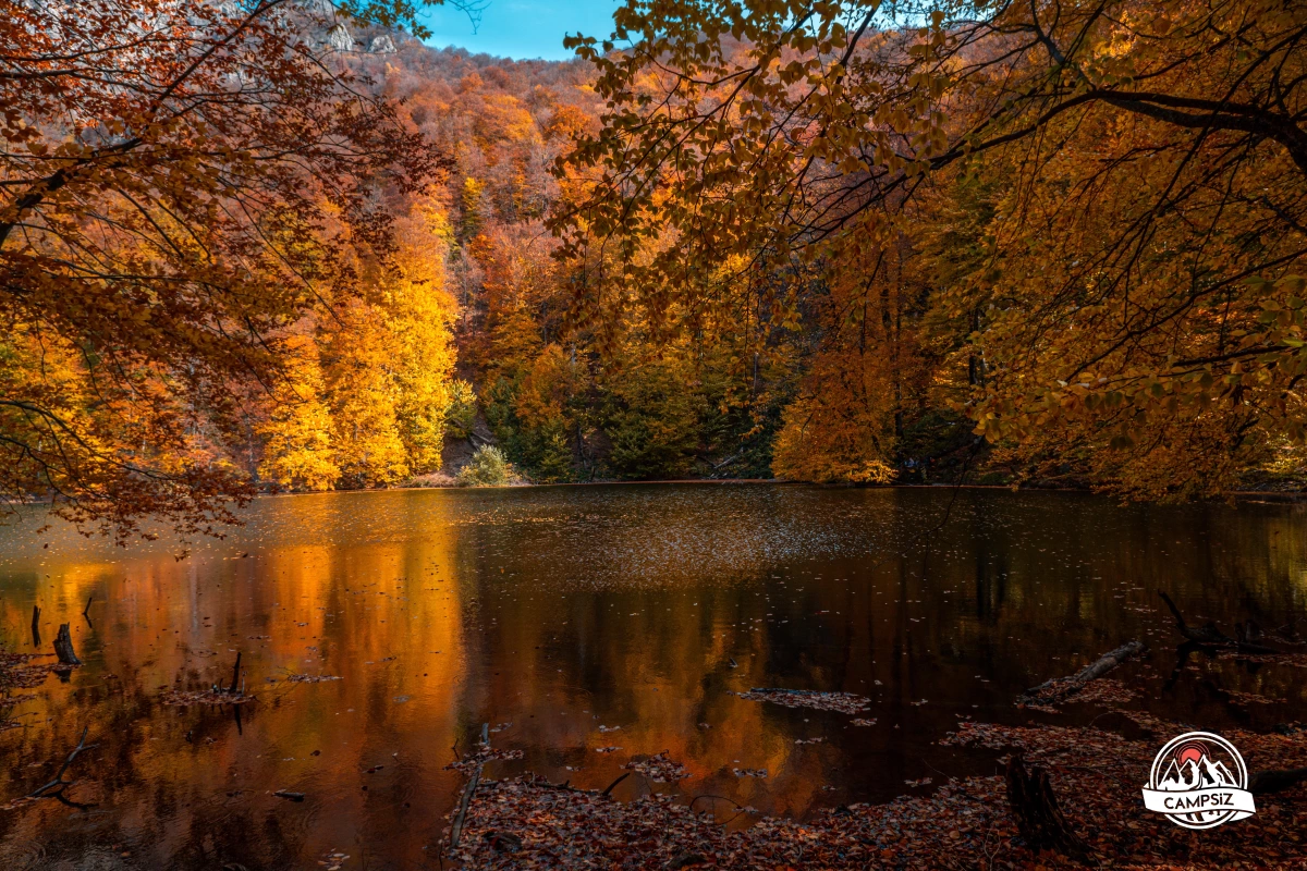
The first part of the trail allows some vehicle access, but at a certain point, it narrows and becomes pedestrian-only. Along the route, you will cross a river that often dries up during the August drought. Passing through the forests typical of the national park, you get some relief from the sun’s intensity. Here, you will reach another river while enjoying breathtaking mountain views. After crossing this river, the trail becomes denser and steeper.
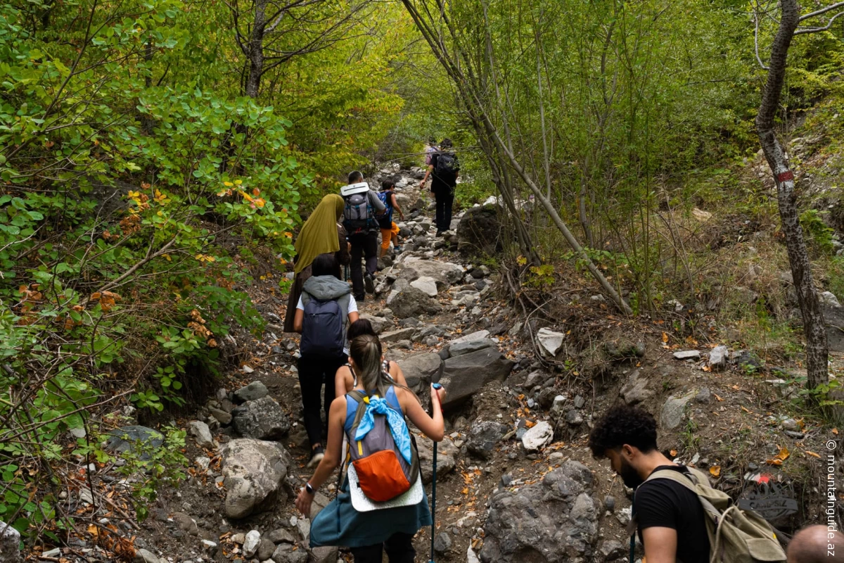
Exiting the forest, you reach the riverbed, and after a short walk, you arrive at an open area. Here, you continue alongside a high rock wall with a magnificent view of the mountains.
As you approach the lake, the trail becomes steeper, requiring caution and perseverance.